Water Basin Q and A - Phase 2
RE: Edison Street north Alley and Environmental Services Andrew Quigley (Andrew.Quigley@tucsonaz.gov) >>> J E DANIELS <jdchama@msn.com> 4/19/2016 10:26 AM >>> Judith and Beth, I need to follow up on the questions about the alley south of the proposed basin. At the April 11 meeting , in the course of talking about Hampton closure, we asked about the alley north of the residents on Edison. Mr. Quigley was not there and we were going to get to him with a few questions... 1) Do the plans for the basin include an alley behind the Edison residences? 2) Do the plans for the basin include a service road where the alley now exists (maybe they are one in the same) ? 3) Will the garbage trucks use that alley, or whatever service road may be there, to collect garbage? 4) If access exists, does it extend to all the homes affected by the basin i.e. the ones on the "turn to Hampton" It occurs to me that this is very important information for our Edison neighbors if there is to be changes, hopefully not. Thanks, Joan Daniel To: jdchama@msn.com, Judith Anderson Cc: mdburges@aol.com, cricket16@cox.net, sdegginger@cox.net, jencroissant@gmail.com, santaritasprings@gmail.com, sirhcsteve@gmail.com, suzannetrp@gmail.com, rlsbcs@liveline.com, Beth Abramovitz, Jesse Soto, Lawrence Cassen, Pat Tapia, joanchall@yahoo.com Dear Folks: I have been informed by TDOT that ES will be able continue to service its customers in the alley. For further questions concerning the project contact TDOT. Andy Quigley Access a PowerPoint presentation provided to the Neighborhood in September, 2015 by clicking here.
At various meetings neighbors have asked questions of the City staff. Often the coalition has asked questions. In an effort to make those questions and answers available to everyone. They are posted below
The following questions were posed December 5, 2015 by e-mail to Beth Abramovitz, project engineer:
1. Has there been a water run-off study…when conducted and by whom. Is it on-line? Yes, a study was prepared by Psomas to evaluate drainage along the corridor and the proposed basin. The entire report is not online because of its size (the report with Appendices is 3.8 GB), but summaries of the findings around the basin have been presented at various neighborhood and public meetings. 2. How will the formerly noted water run-off into and across the alley (which runs east/west) be mitigated? The project and the basin are not generating any new flows into or across the alley. In fact, the basin will reduce the size of the watershed that currently flows to the alley (see the purple area in the attached pdf). Furthermore, there is no berm preventing flows from entering the basin from the south. No (negative) drainage impacts are anticipated in the alley. 3) The on-line map which shows contour lines does not give the elevation intervals or vertical distances. What would those be? The attached pdf shows the proposed elevations within and around the basin and a horizontal scale. Click here to access map. 4) There is concern about the possibility of standing water and mosquitoes in the basin and behind McDonald’s in Mtn/First neighborhood. Can you address that? a) Standing water in the basin: As mentioned in public meetings, the basin is designed to meter the flow (a detention basin), not to hold the water (a retention basin). The basin has an outflow pipe near the bottom to allow the flow to leave the basin. This will ensure drainage within 24 hrs as required by the City. The design also includes a gate valve to accelerate the capacity of the outflow pipe if faster drainage is needed. b) McDonalds: There is no ponding of water behind the McDonalds today, and the project is not changing the conditions in terms of grade, surface material or water discharge. Q and A Jan 13, 2016 at Noise Study Meeting: When asked by a neighbor why Walls could not have been part of the "art" in the basin. Ms Abramovitz, project engineer responded that it was offered to the citizens art committee. Note: The Jefferson Park representative to that committee has no knowledge of such a discussion per e-mail discussion with J. Daniels 1/19/2016 |
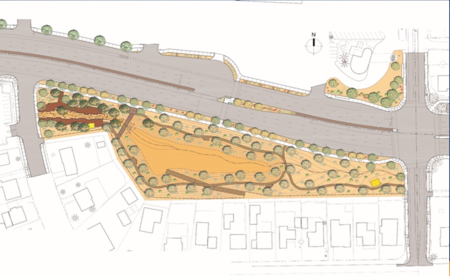
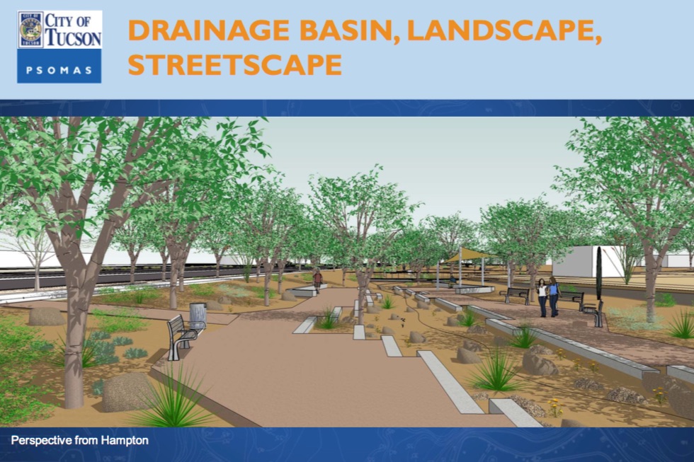
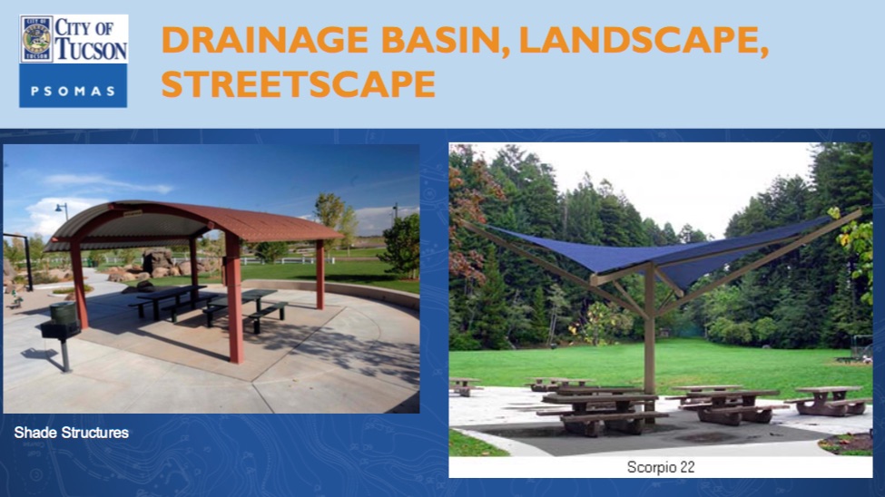
Design Drawings
|
|
|